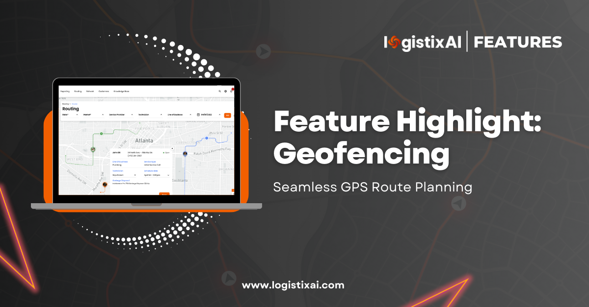
Geofencing for Superior Scheduling and Routing
In the realm of logistics, precision and efficiency are paramount. Geofencing, a cutting-edge technology, has emerged as a game-changer, offering unprecedented capabilities in scheduling and routing. At LogistixAI, we harness the full potential of geofencing to revolutionize how businesses manage their fleets, ensuring that no one else can match our unique, innovative approach.
Understanding Geofencing
What is Geofencing?
Geofencing involves creating virtual boundaries around specific geographical areas on a map for tracking and management purposes. This technology is particularly beneficial for route planning and optimization, enabling fleet managers to define perimeters around delivery destinations. By automating tracking processes and minimizing human errors, geofencing enhances operational efficiency.
What is a Geofence?
A geofence is a customizable virtual boundary that can be set around any location, such as a customer’s address. Logistics professionals utilize geofences to track delivery drivers and streamline various logistical activities. These geofences can be tailored to specific shapes and sizes, catering to unique business needs.
How Geofencing Works
Geofencing technology integrates seamlessly with GPS route planning software. Here’s a step-by-step breakdown:
- Defining the Perimeter: A fleet manager establishes a virtual boundary around a specific location using GPS-enabled software.
- Driver Integration: The designated driver uses a GPS-enabled device or mobile app connected to the enterprise route dispatch software.
- Triggering Actions: As the driver enters or exits the geofenced area, various automated processes are triggered, such as creating timestamps, sending SMS notifications to customers, and more.
At LogistixAI, our geofencing capabilities extend to automated visitation and departure timestamps, customer notifications, and mobile app actions, such as opening notes. This allows for comprehensive tracking and management, identifying delays, missed visitations, unscheduled breaks, and more.
The LogistixAI Advantage
LogistixAI’s platform stands out by incorporating advanced geofencing technology into our scheduling and routing solutions. Our unique approach ensures:
- Enhanced Driver Tracking: Monitor driver activities in real-time, identifying any deviations from the planned route or schedule.
- Automated Processes: Save valuable time by automating check-in and check-out processes, significantly reducing manual effort and potential errors.
- Data-Driven Insights: Gain detailed insights into driver performance and service times, enabling more informed decision-making and optimization of routes.
Geofencing in Action: A Practical Example
Consider a scenario where you need to create a multi-stop route with ten addresses for a single driver:
- Setup: Define a virtual geofence around each customer address.
- Tracking: As the driver enters a geofenced area, the system records an entry timestamp.
- Service Time: Upon servicing the address and departing, a departure timestamp is generated.
- Analysis: This data allows you to track the driver’s arrival and departure times at each stop, calculating the duration of each visit.
This process continues throughout the route, providing a comprehensive overview of the driver’s efficiency and helping to identify areas for improvement.
Transforming Fleet Management with Geofencing
Geofencing’s applications extend beyond logistics and fleet management. It’s also a powerful tool in marketing, as demonstrated by companies like Uber, which set geofences around airports and hotels to target potential customers.
By integrating geofencing into your operations with LogistixAI, you can achieve unparalleled efficiency and accuracy in scheduling and routing. Our platform’s unique capabilities ensure that you stay ahead of the competition, leveraging the latest technology to optimize your logistics processes.
Experience the LogistixAI difference today and transform how you manage your fleet with cutting-edge geofencing technology.


